(2)")
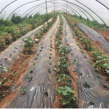
| Grass strips are widely used as vegetative barriers to reduce soil loss and to increase infiltration and soil moisture. Due to increased soil moisture, there is more water available for the crops which leads to increased agricultural production. Grass is grown in alternating strips following contour lines. Depending on the grass used, the strips may provide fodder for livestock as well. Compared to other interventions grass strips can be easily crossed by oxen and ploughs. Grass strips can filter sediment, evacuate excess runoff, and can also withstand inundation. They may ultimately form into bench terraces.
Grass strips work best in areas with a good amount of rainfall. The technique can be applied on gentle slopes as well as on steep slopes. Preparing grass strips involves relatively modest-labour inputs and basic equipment (e.g. hoes, wires and tree branches.) The grass type chosen should not be too aggressive: it should not expand into adjacent crop land. The width of grass strips ranges from 0.5 to 1.5 m (Desta et al, 2005). Permanent vegetation strips (used on steep slopes) range from 2 to 4 m. The interval between the strips depends on the slope: 33 m is common over 3% slopes while a 7 m distance is used over 15% slopes. Since grass strips are usually laid along the contours, the distance between them is dictated by the slope of the land. Preferably, perennial grasses are planted on the strips. Grass types should be persistent and be able to withstand drought and flood. Suitable species include Napier grass (Pennisetum purpureum), Guatemala grass (Tripsacum laxum), Makarikari grass (Panicum coloratum), Canary grass (Phalaris canariensis), Oat grass (Hyparrhenia spp.), Wheat grass (Agropyron spp.), and Lyme grass (Elymus spp.). Seedbed preparation is necessary in the case of direct sowing. A depth of 0.5 to 1.5 cm is optimum for most species. The grass seeds should be covered with a thin layer of soil (Desta et al., 2005). If grass splittings are used to establish the strips, they should be planted in a staggered way using double or triple rows.
|
Additional information
| (semi) Natural unused areas | (semi) Natural unused areas |
|---|---|
| Agriculture | Flood/spate irrigated, Rainfed (Crop) |